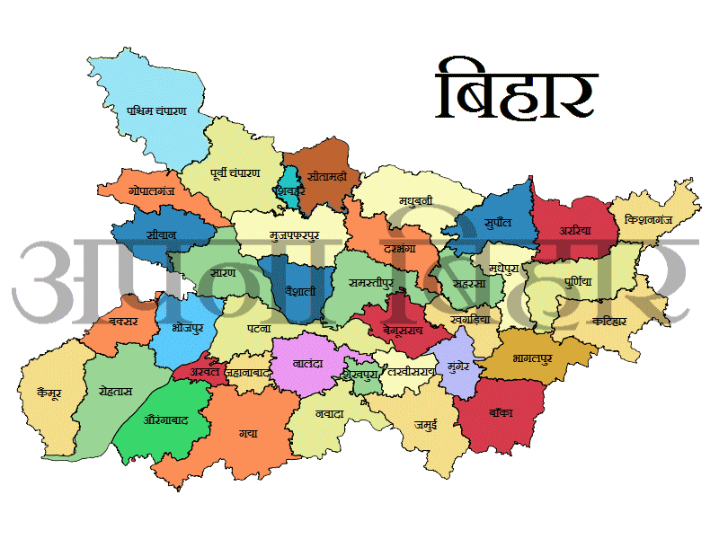
In a groundbreaking initiative to overhaul land record management, the Bihar government has launched an extensive land survey project. The ambitious plan involves deploying over 10,000 officials to systematically cover 45,000 villages across the state. This large-scale exercise aims to digitize land records, which will significantly enhance transparency, accuracy, and efficiency in land management.
Key Highlights of the Initiative:
- Scope and Scale: The survey will encompass 45,000 villages, aiming to provide a comprehensive and updated database of land ownership and usage across Bihar.
- Objective: The primary goal is to digitize existing land records, thereby reducing discrepancies and improving the ease of access to land-related information.
- Impact on Land Management: By transitioning to a digital system, the initiative is expected to streamline land transactions, reduce disputes, and ensure a more efficient and transparent land management process.
- Technological Integration: The project will leverage advanced technology to record, store, and manage land data, making it easier for both government authorities and citizens to retrieve and verify land information.
Why This Matters:
This extensive digitisation effort represents a significant step towards modernizing land record management in Bihar. For citizens, it means more reliable and accessible land records, reducing the likelihood of disputes and simplifying the process of land transactions. For the government, it offers a robust system to better manage land resources, monitor land use, and address issues more effectively.
The initiative is part of a broader effort to enhance governance and service delivery in Bihar, aligning with national trends towards digitization and transparency in public administration.
 English
 हिंदी भाषा


Comments
Kuchh samjh me nhi aa rha hai bhumi sahayak me
Add New Comment